| Postcode | Location | Key neighbourhoods |
|---|---|---|
| SN1 | Town centre south, Old Town | Old Town, Railway Village, Eastcott, Walcot (part) |
| SN2 | Town centre north | Rodbourne, Penhill, Upper Stratton, Kingsdown |
| SN3 | East Swindon | Stratton St Margaret, Covingham, Dorcan, Liden, Nythe, Eldene, Park South |
| SN4 | Villages (Swindon & Wiltshire) | Wroughton, Chiseldon, Royal Wootton Bassett, Wanborough, Clyffe Pypard |
| SN5 | West Swindon & Shaw | Toothill, Freshbrook, Peatmoor, Westlea, Lydiard, Shaw, Purton |
| SN6 | North & east (towns & villages) | Highworth, Cricklade, Shrivenham, Watchfield, Ashton Keynes |
Source: Royal Mail / OpenStreetMap
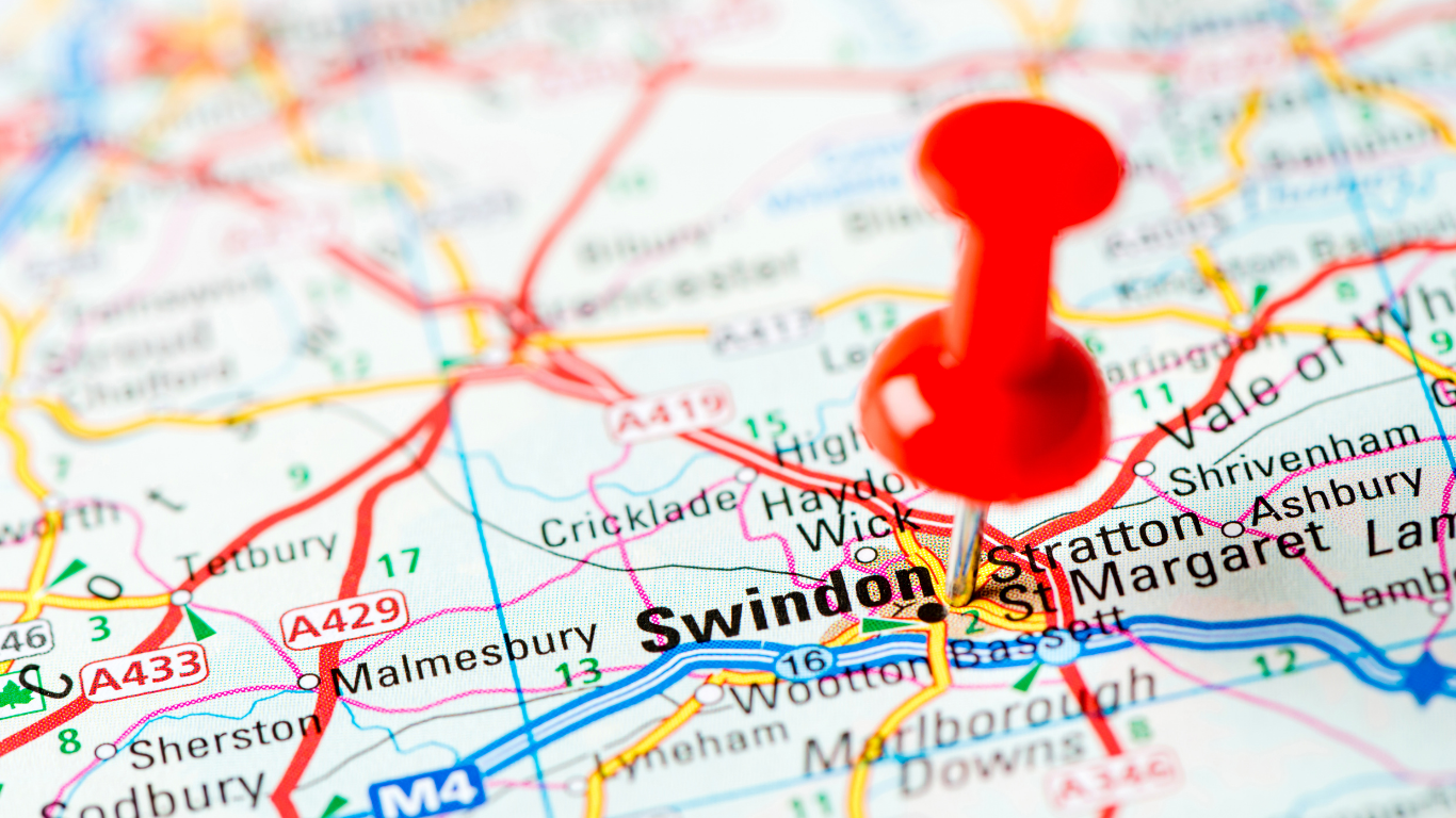
SN1 – Town centre and Old Town
SN1 covers Swindon's historic core south of the railway: Old Town, the Railway Village, and Eastcott. It includes the town centre shopping areas, the STEAM Museum, Designer Outlet, and the Georgian High Street. The most densely built district in the SN area. Explore Old Town, Railway Village, and Eastcott.
SN2 – North Swindon
SN2 runs north of the railway line, taking in Rodbourne, Penhill, Upper Stratton, and Kingsdown. Residential areas with local shopping, the Link Centre, and good transport to the town centre and M4. Shaw is in SN5. See Rodbourne, Upper Stratton, and Penhill.
SN3 – East Swindon
SN3 covers the eastern suburbs: Stratton St Margaret, Covingham, Dorcan, Liden, Nythe, Eldene, and Park South. Family-oriented neighbourhoods with Coate Water Country Park nearby, local schools, and bus links to the town centre and Great Western Hospital. Explore Liden, Covingham, and Dorcan.
SN4 – Villages
SN4 spans villages in Swindon borough and north Wiltshire: Wroughton, Chiseldon, Royal Wootton Bassett, Wanborough, Clyffe Pypard, Broad Town, and others. Mix of village life with Swindon and M4 access. See Wroughton and Chiseldon.
SN5 – West Swindon and Shaw
SN5 covers West Swindon and Shaw: Toothill, Freshbrook, Peatmoor, Westlea, Lydiard, Shaw (Shaw Forest Park, Shaw Village), and Purton. Home to the Link Centre, West Swindon shopping, Lydiard Park, and a mix of housing from the 1950s onwards. Explore Shaw, West Swindon, and Lydiard.
SN6 – Highworth, Cricklade and villages
SN6 takes in market towns and villages northeast of Swindon: Highworth, Cricklade, Shrivenham, Watchfield, Ashton Keynes, and others. Spans Swindon borough, Wiltshire, and Vale of White Horse. See Highworth.
Sub-postcodes (SN25, SN26, etc.)
More specific postcodes (e.g. SN25 for Priory Vale, Tadpole Garden Village; SN26 for Blunsdon) fall within these main districts. Check Royal Mail's postcode finder for exact addresses.
Explore Swindon areas
Detailed guides for Old Town, Wichelstowe, Shaw, Liden, and more – character, transport, schools.
Swindon areas & neighbourhoodsInformation correct as of 12 July 2026. Postcode boundaries can change. For addresses, use Royal Mail's postcode finder. For where to live and house prices, see best areas to live in Swindon and housing & property.